RCAHMW map

The Royal Commission on the Ancient and Historical Monuments of Wales (RCAHMW) map shows details of the sites but doesn't given a clear boundary of the scheduled area (within which you would need permission for your cache). Use the Lle Geo-Portal map to show the boundary. Click here to open the portal then click the Preview tab for the map.
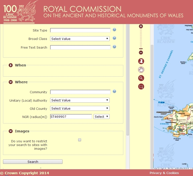
Using the map
Click here to open the RCAHMW map. You can search by various means including the name or type of site. The easiest way is with coordinates by entering them into the Where - NGR box and clicking search. The map uses coordinates in the OSGB format - example ST4690090700 (You can also use the short form - ST469907). To find out how to convert Lat and Long coordinates or get coordinates from Streetmap or Google maps click here.
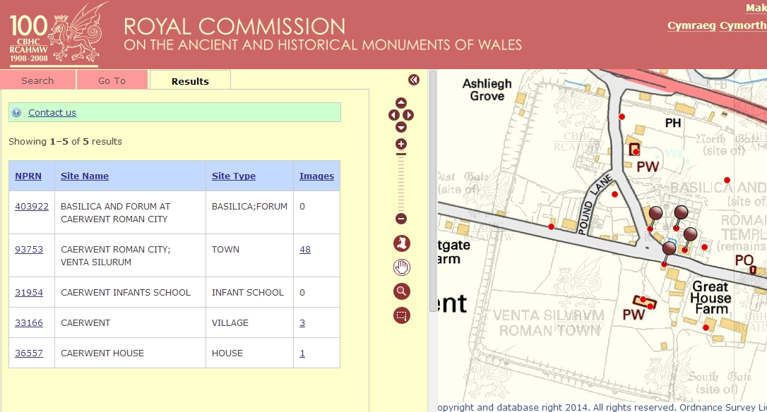
Roman town of Caerwent in South East Wales
United Kingdom Reviewers
Dalesman (Yorkshire), GizmoKyla (South Wales, South West England and East Midlands), Hanoosh (Eastern England), La Lunatica (East Midlands), Long Man (South East England), Lorgadh (Scotland), Professor Xavier (Southern England), Royal Oak (North West England), Southerntrekker (London, North Wales, Isle of Man and Channel Islands), Workyticket (North East England and South West England).
United Kingdom Earthcache reviewers:
GeoawareUK2, GeoawareUK4