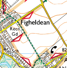
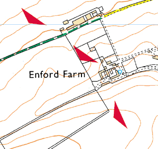
Ministry of Defence Estate
The Ministry of Defence own and lease a lot of land in the UK and much of it is used for military training exercises. In many places these ranges and training areas are also open to the public and have public rights of way across them. |
Range with 'Open Access' - Open red triangles
Range with live firing - solid red triangles |